
Brushy Creek Previous Resident Sources
Different records answer different parts of an address history. WCAD gives a current owner-of-record and parcel identifiers. Williamson County land records document property interests. Library directories and newspapers can place a household in a narrow time period, while archival reels reach further back than a modern street address. None of those sources alone proves every past resident. The useful sequence moves from an exact parcel to deeds, then adds household evidence for the period in question.
| Source | Years It Covers | Where Held | What It Shows |
|---|---|---|---|
| Williamson modern land system | January 1984-present | County Clerk land-record routing | Recorded instruments indexed by parties and legal description |
| QuickLink old index books | Through 12/30/1983 or deed volume 1-150 | Williamson historical index route | Old index-book access and links to older document images |
| TSLAC Williamson deed records | 1848-1908; original indexes 1835-1886 | Texas State Library and Archives Commission | Direct/reverse deed index and reel guidance |
| Cole directory collection | 1993, 1994, 1996, 1997, 2001-2020 | Round Rock Public Library | Dated name and address leads when shown in a volume |
| Round Rock Leader microfilm | 1929-2021, with stated gaps | Round Rock Public Library | Notices, obituaries, civic references, and address clues |
Start in the source era that matches the question. A house built in a later subdivision usually begins with WCAD and the modern land index. A tract that predates a street name needs its legal description, old grantor and grantee indexes, and archive reels. The County Clerk cannot perform searches under Attorney General Opinion WW-607, so arrive with the best available name, date range, address, subdivision, instrument number, or legal description.
Brushy Creek Address Records
Before tracing past residents, fix the exact property identity through the Williamson Central Appraisal District search. The basic search accepts name, address, or property identifier; its result modes include owner, address, account, and property ID. For a house-history trail, save the physical address, account or QuickRef identifier, owner name as indexed, subdivision, block and lot, and legal description. These keys are more stable than a postal label alone.
Three address fields must remain distinct. The situs address is the physical parcel. An owner mailing address is where tax notices may be sent. The legal description is the abstract, survey, subdivision, block, lot, acreage, or metes-and-bounds wording that carries the property through address changes. An owner of record is a property connection, not proof that the named person occupied the house.
- Grantor
- The party transferring or conveying an interest in a recorded instrument.
- Grantee
- The party receiving an interest in a recorded instrument.
- Chain of title
- The sequence of recorded transfers and related instruments used to trace a property interest backward.
- Legal description
- The parcel’s formal land description, which can connect old tract records to a newer street address.
Brushy Creek Land Records Boundary
Williamson County has a clear handoff point in its land research. The historical QuickLink notice routes Commissioners Court index books through December 30, 1983 or deed volume 1-150. The county’s modern land-record system begins in January 1984. That is an index and routing boundary, not a promise that every old deed is fully imaged online. At the boundary, change tools and preserve the volume, page, instrument, and name variant that led you there.
Williamson County’s historical deed QuickLink displays the old-index routing that governs a Brushy Creek previous residents search.
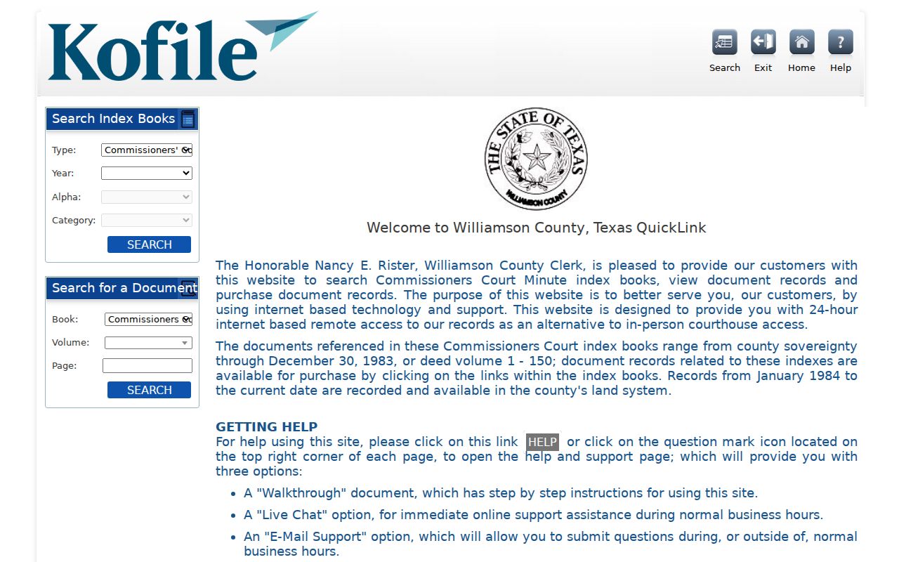
The image is a routing aid, not a populated transaction result. Check the live portal for current image purchase conditions and record availability.
The Texas State Library and Archives Commission Williamson County guide adds the older archive route. It lists deed records from 1848-1908 and original deed indexes from 1835-1886, including direct deed indexes for 1848-1883 on reel 977921 and reverse indexes for 1848-1877 on reel 977920. Capture the reel, volume, and page before requesting an image or asking a library about in-library access.
The TSLAC Williamson County record guide documents the archive path for older Brushy Creek previous residents research.
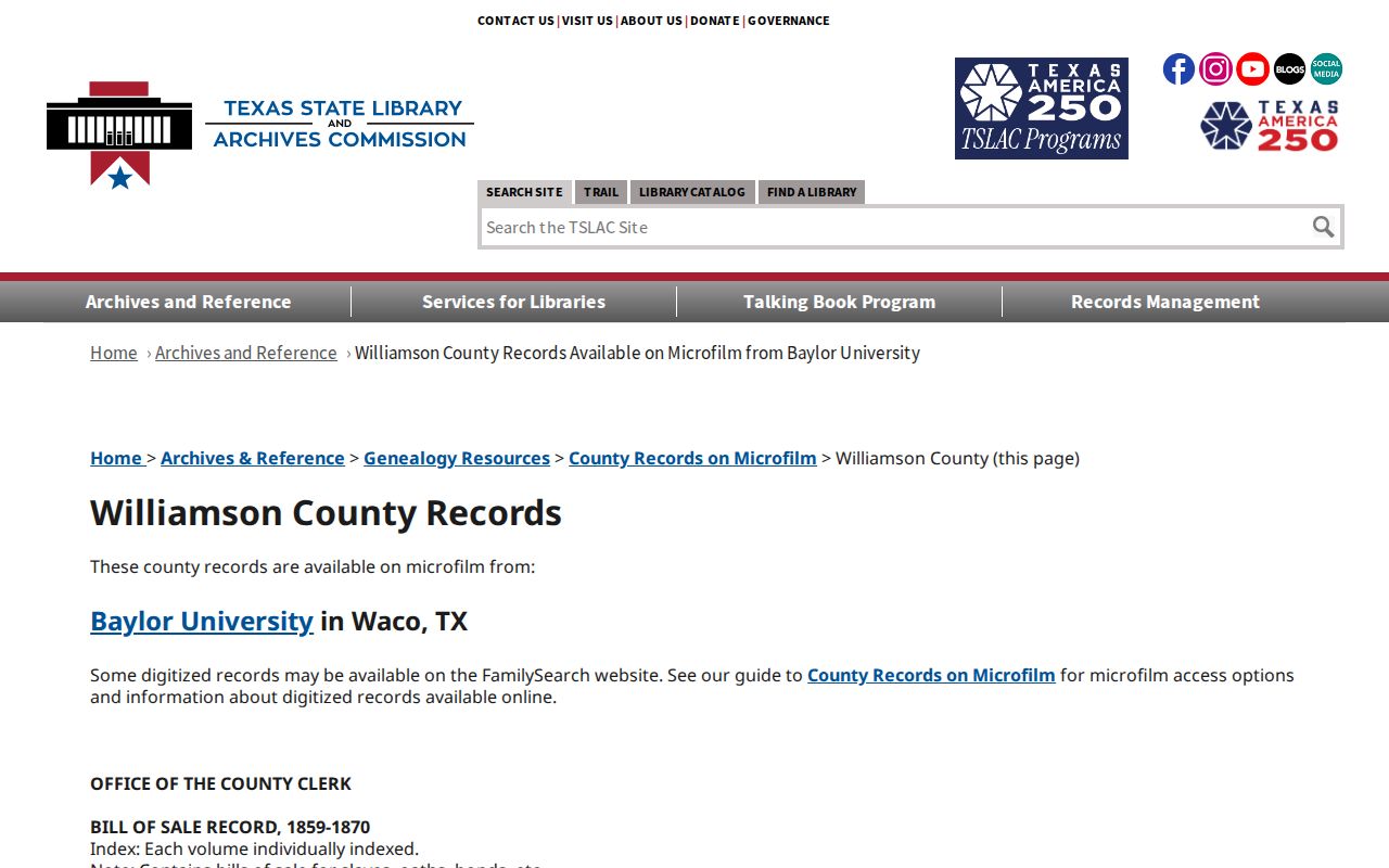
Use direct and reverse indexes together, because older books are generally arranged by names rather than a modern street address.
Tracing Brushy Creek Deed Records
Move backward from the current owner’s acquisition, not from an assumption about who lived at the property. Search modern land records by the current grantee and legal description. The instrument can point to a prior grantor or a prior reference. Then test that earlier party in both index directions. Keep execution date separate from recording date, because an instrument can be recorded later than the underlying transaction.
- Find the current physical address, parcel or account ID, subdivision, block, lot, and owner-of-record in WCAD.
- Search the modern county land index for the current grantee and legal description; record instrument number, document type, recording date, parties, and volume or page if shown.
- Read the legal description and earlier-grantor reference in the instrument, then search the seller as grantor and the earlier owner as grantee.
- Repeat backward, retaining each source URL, volume or reel, search term, no-result, and next party name.
- At the 1983-84 boundary, use QuickLink and the TSLAC direct/reverse reels instead of expecting a street search in older books.
- Use plats, restrictions, and subdivision declarations to connect an older tract to the later street name.
A deed can name a seller, buyer, trustee, executor, lender, or beneficiary. The party role matters. A release, deed of trust, or lien may help date a property interest, but it does not make every named party a resident. Likewise, the earliest deeded owner is not automatically the first household at the address.
Note: Record both execution and recording dates so the order of property events remains clear during a long chain.
Brushy Creek Historical Records Story
The oldest part of a Brushy Creek property trail may not have an address at all. The county profile describes eight early headright tracts, with the Dillard, Hail, and Dugan land histories offering a practical example of why name-and-survey research comes first. Thomas Dillard claimed 4,428 acres in 1849. After a probate settlement, Susan Dillard sold 1,435 acres to Thomas Hail in October 1854, and Hail later subdivided parts of the land. Dugan’s land followed a different estate and resale path.
This is local history, not a shortcut to a particular parcel. Use the story to select grantor, grantee, probate, abstract, survey, tract, and plat search keys when a modern subdivision touches an old land chain. A current street can sit over a much older legal description. Do not project a modern address back onto land before the street and lot were created.
The Williamson County Historical Commission sources page describes county-history notebooks and the bridge between cemetery legal documents, County Clerk instruments, and WCAD tax numbers.
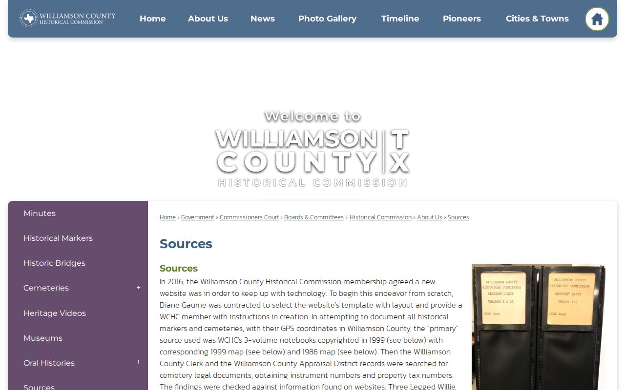
Historical materials can add a documented context to the deed trail without turning an old family name into proof of later residence.
Brushy Creek Address Record Changes
An address search can fail even when the parcel is right. Williamson County’s addressing guidelines allow reassignment for out-of-sequence numbers, mixed odd and even numbering, moved driveways or buildings, new buildings on land previously addressed for one structure, and unofficial numbers. Save old and new numbers, street suffixes, lot and block, subdivision, and legal description. For an unincorporated Brushy Creek address, begin with the county GIS address match rather than relying on the word city in a postal label.
Plats and restrictions are especially useful when the street did not exist in an early deed. They can identify a developer, subdivision, section, lot, and recording instrument, then connect the current parcel to its predecessor tract. Development dates offer a plausibility check: Spanish Oak Terrace and Great Oaks date to 1973-75, Woods of Brushy Creek to 1985, Fern Bluff to 1986-87, Cat Hollow to 1987, and Stone Canyon to 1995-96. A household listing cannot precede the creation and indexing of its address.
Past Brushy Creek Households
Owners are only one layer of a previous residents search. The Round Rock Public Library’s Cole collection supplies verified directory slices for 1993, 1994, 1996, 1997, and 2001-2020. In a volume that provides a street or reverse section, use the address to find a name and then test the alphabetical listing. The research confirms the criss-cross method, but not a separate local reverse-directory title. Inspect the actual volume before claiming a field or format.
- Choose Cole years that bracket the period after the subdivision and address existed.
- Record the volume, printed page, surname spelling, address line, and any field actually shown.
- Pair that dated lead with the closest available census or library database evidence, keeping the collection year visible.
- Search the Round Rock Leader microfilm for notices, obituaries, subdivision terms, or address variants, while marking its incomplete periods.
- Compare a dated household lead with the deed chain, but do not equate ownership with occupancy.
HeritageQuest is listed by the library with census coverage from 1790-1950, and other library resources include HeritageHub, newspaper databases, yearbooks, and Sanborn maps. For the directory collection itself, use the Brushy Creek city directory page to identify the verified shelf and its gaps. Older Round Rock Sanborn maps are comparative building and location context, not a household list for later Brushy Creek suburbs.
The Williamson Museum scrapbook collection begins with Historical Commission volumes from 1948 and can supply dated community notices.
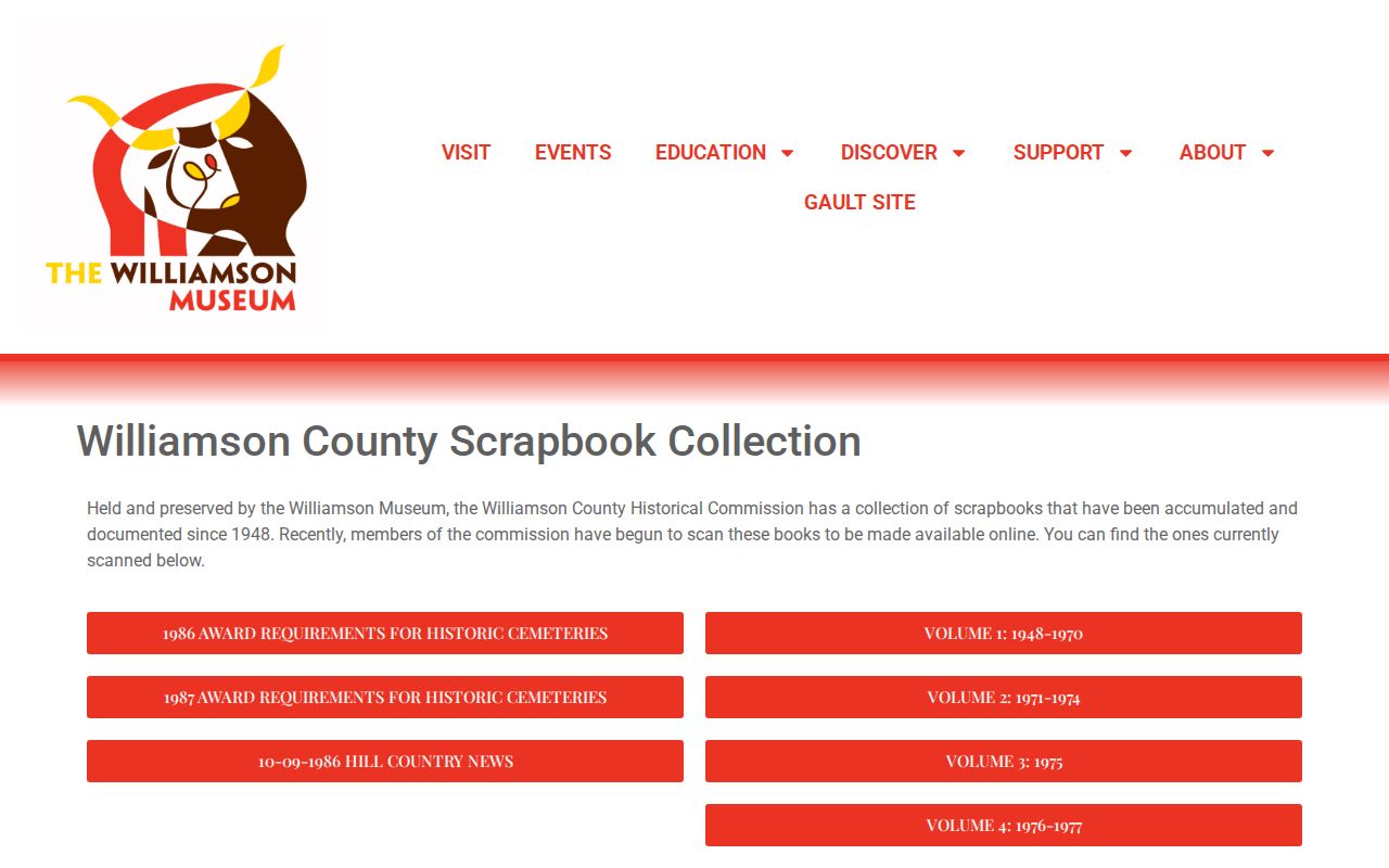
Use a scrapbook item as a separately dated lead, then corroborate it with a directory, deed, newspaper issue, or archive record.
Brushy Creek Resident Record Limits
County deeds, WCAD cards, directories, maps, and archival material use different keys and have different gaps. A property owner can live elsewhere. A tax mailing address can be different from the situs address. A directory can omit a household, use another postal label, or fall in an unverified collection gap. A no-result means that the name or address was not located in that source and search, not that no earlier resident existed.
For a county-held record that is not online, a focused request under the Texas Public Information Act should ask the correct custodian for an existing record by address, legal description, date range, and record type. Court files follow clerk and judicial-record procedures instead. Ask for public portions where appropriate, and do not request a broad dossier about a person.