
Follow a Brushy Creek Street Record
A street search works best when it moves from the address itself to records that use a stable property key. Brushy Creek is a Census Designated Place, not an incorporated city, so a postal label alone does not select the right records office. Start with a full delivery address and preserve the number, street type, unit, postal city, ZIP, neighborhood, and date searched. That set of details makes it possible to distinguish a property connection from an actual residence claim.
- Validate the delivery address with USPS, then use the county address lookup to select the county-maintained spelling.
- Run the normalized address in WCAD and save the account or QuickRef ID, owner of record, legal description, situs address, and source date.
- Open the parcel in the WCAD GIS viewer to understand the mapped parcel and identify nearby parcel IDs without treating map labels as names of residents.
- Use the legal description and current owner of record in the Williamson County land-record route, then follow grantor and grantee entries when a historical ownership trail is needed.
- Use the current elections map only as a geographic check, then consult dated library directories or newspapers for a separate historical address lead.
This ordered approach is more reliable than starting with a city name. It also keeps the distinct meanings of owner, parcel, mailing address, and historical listing clear.
Match Brushy Creek Addresses First
The Williamson County address search accepts an address or street and asks the user to choose from a dropdown result. County Addressing maintains the master address database for unincorporated county areas and several smaller cities, with address-search data loading about monthly. It is the right first check when a street has several spelling or suffix variants, or when a postal city masks the actual service jurisdiction.
The captured Williamson County Addressing page shows the local address-record channel used for this Brushy Creek street directory workflow.
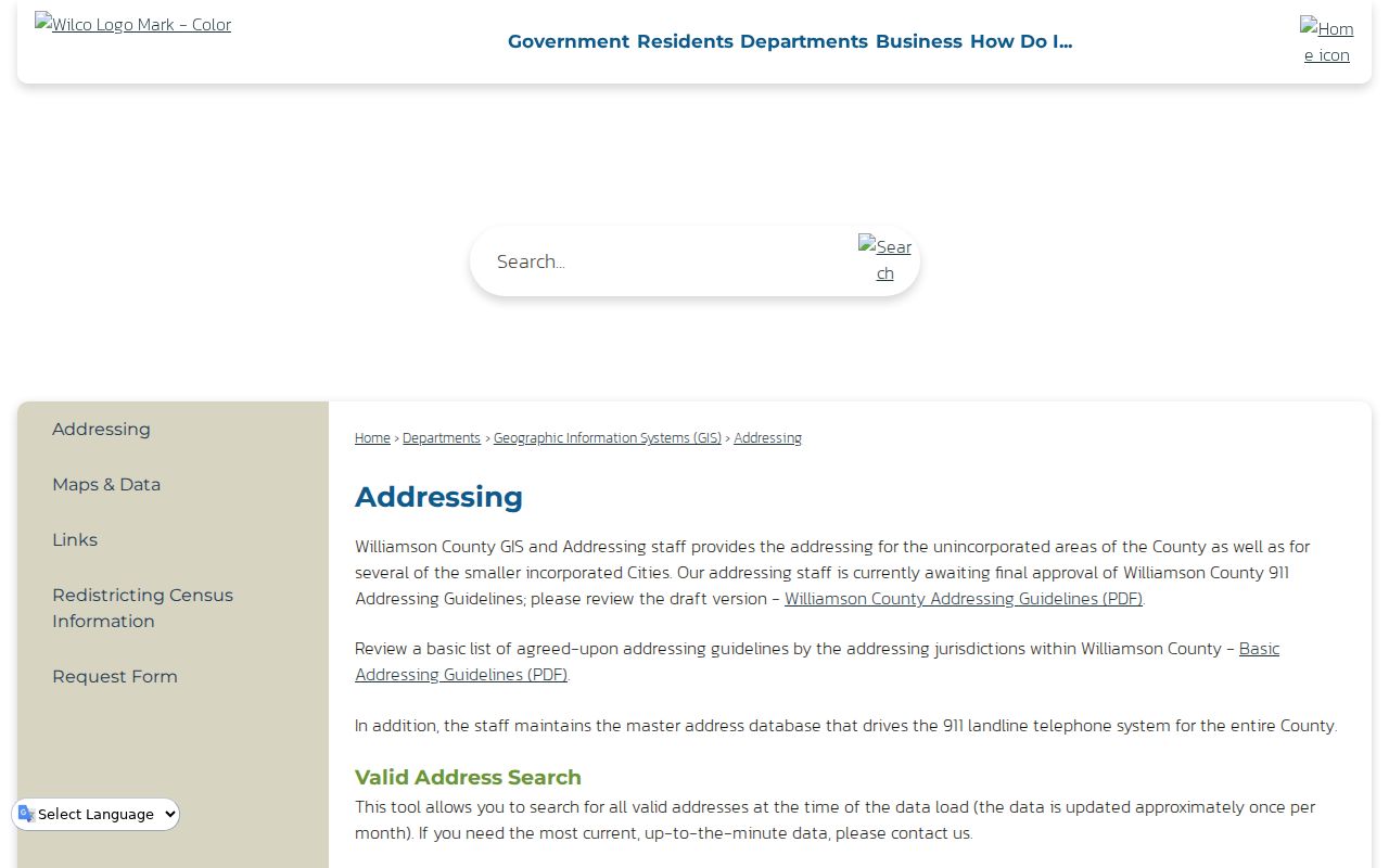
Use the county result as a normalization step, not as a resident list. It can help retain the county's street form before WCAD, deeds, or a records request are searched.
If an address is missing, omit the house number and test directional prefixes, street types, or the old spelling. County guidance says the coordinator can resolve address questions by phone at 512-943-3707 or 512-943-3708.
Search WCAD by Brushy Creek Street
Williamson Central Appraisal District offers basic Owner, Address, Account, and Property ID modes. For a longer street, its Advanced Search can narrow results with a street-number range, street name, postal-city text, ZIP, neighborhood, property type, and legal-description fields. The result is an owner and property lead. It does not establish who occupies a home or whether an owner mailing address is the same as the parcel.
| WCAD field | Use for a street search |
|---|---|
| Street Number Range | Limits a large street to the block or segment being checked. |
| Street Name | Try the county spelling and directional or street-type variants. |
| City and Zip Code | Filters postal text, not a guarantee of Brushy Creek or municipal jurisdiction. |
| Neighborhood | Tests a subdivision label when the street result is broad. |
| Abstract, Subdivision, Block, Tract or Lot | Carries the inquiry from a street number into plats and deed records. |
The WCAD Advanced Search is shown below. Record only fields displayed for the selected parcel, and note unavailable fields rather than importing them from another source.
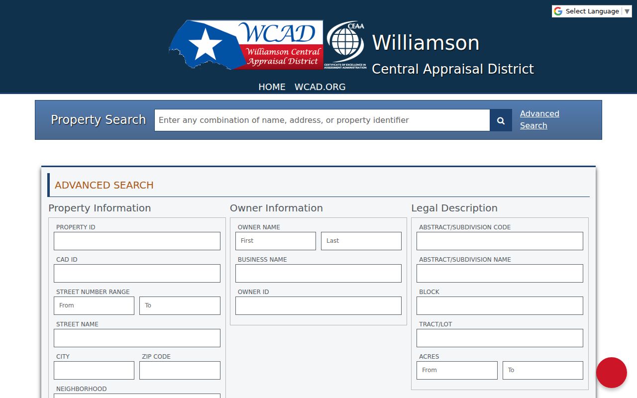
A QuickRef ID or full property address is a useful repeat-search key. WCAD says details may include values, improvements, taxing entities, exemptions, and sales history, but sales-information limits under Government Code Section 552.149 mean a parcel card is not a complete deed history.
Brushy Creek Street Record Layers
Each address-keyed source answers a narrower question. Combine them only after preserving the parcel identifier and legal description. The GIS map helps locate a parcel, while WCAD and the land records supply the separate property and instrument information that a street-by-street search needs.
| Record layer | Local keeper | Street-use result | Access route |
|---|---|---|---|
| Appraisal record | WCAD | Owner/property lead, account, legal description, taxing entities | Basic or advanced search, office, or focused request |
| Parcel map | WCAD GIS | Parcel shape and nearby parcel IDs | Interactive map, then verify each ID in WCAD |
| Recorded instruments | Williamson County Clerk | Grantor, grantee, instrument and legal-description trail | Modern land system, QuickLink, counter, or archive |
| Election geography | Williamson County Elections | Current precinct or district geography | Map and official voter routes, subject to confidentiality |
| Development records | County MGO or applicable city | Address-specific project or permit lead | Use only after confirming jurisdiction |
The WCAD parcel GIS viewer is shown here as the mapping layer for the Brushy Creek street directory.
The map does not automatically prove ownership or residence. Use it to derive parcel IDs, then run a separate WCAD search for every parcel that needs verification.
Note: A property owner, tax-mailing recipient, permit applicant, and listed voter can be different people connected to the same address.
Trace Brushy Creek Street Deeds
After WCAD supplies the parcel's legal description, the County Clerk's recorded-instrument path can follow ownership interests behind a street number. Search the current owner as grantee and read the recorded instrument for the preceding grantor, recording date, instrument number, and legal description. A grantor is the party conveying an interest; a grantee receives it. Neither role proves that the person lived at the property.
- Parcel
- A mapped piece of property used as the appraisal and GIS unit.
- Situs address
- The physical location of the property, distinct from an owner's tax-notice address.
- Plat
- A recorded map that can connect a subdivision lot and block to a later street address.
- Criss-cross directory
- A directory arranged by street or address, or a reverse address listing where the volume provides one.
For later instruments, use the county's Search Records routing. The county's historical QuickLink index covers old index books through December 30, 1983 or deed volumes 1 through 150; the modern land system starts in January 1984. Early books are generally grantor/grantee indexes, not an address search.
The County Clerk says it cannot perform a search for a visitor under Attorney General Opinion WW-607. Bring the address-derived keys, such as an instrument number, recorded date, subdivision, legal description, or a party name, and ask for the correct index or copy route. For pre-digital material, the Texas State Library and Archives Williamson County inventory lists deed records for 1848 through 1908 and original deed indexes for 1835 through 1886. Record the reel, volume, and page before asking for an image or counter assistance.
Brushy Creek Street Numbers Can Change
County addressing rules recognize reassignment when a sequence is out of order, odd and even patterns are mixed, a driveway moves, a building is added to land previously addressed for one building, a building is moved, or an unofficial number has been used. Preserve both an old and current number along with the road suffix, subdivision, lot, and block. Those details are more durable than a single street label when a record trail crosses systems.
The county's address-search screen illustrates the street-entry route used to test a current or former formulation.
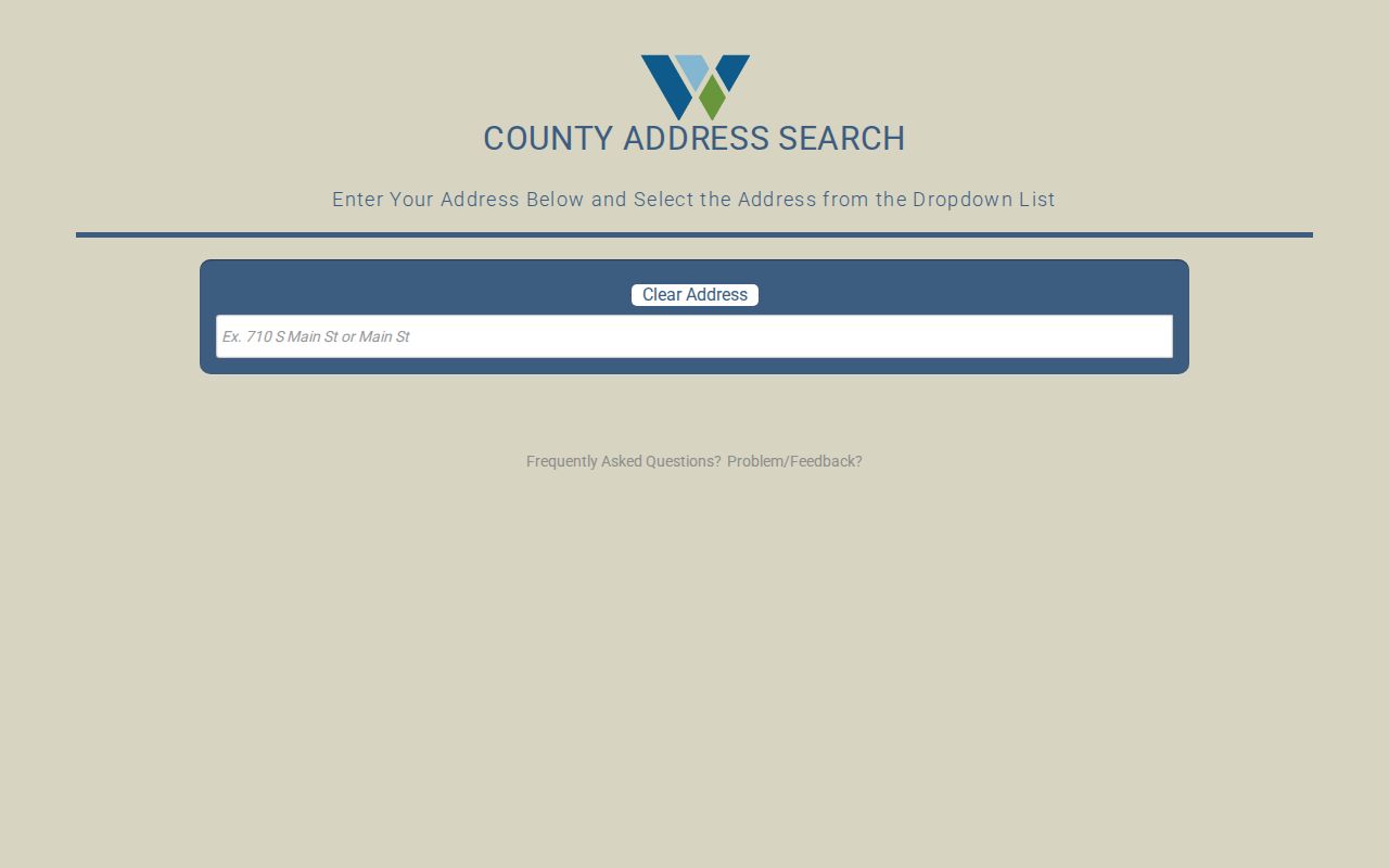
A normalized dropdown match is useful evidence of the current county format. It does not erase an old number found in a deed, directory, plat, or newspaper.
For older land, the change in search key matters. Nineteenth-century Williamson records rely on names, surveys, abstracts, tracts, and legal descriptions because modern suburban street addresses had not yet been created.
Use ZIPs Across Brushy Creek Streets
ZIP is a helpful WCAD filter, not a parcel boundary. The Census ZCTAs 78613, 78681, and 78717 intersect Brushy Creek geography, but USPS delivery is address-specific. A Round Rock mailing label can appear on an address outside Round Rock city limits. Verify the mailing ZIP with USPS, keep the county address result, and use GIS or taxing-jurisdiction data before choosing a city permit, inspection, or public-record channel.
Election geography needs the same care. Williamson County's current map can search an address, street, or district, and precinct changes under 2025 PlanC2333 took effect January 1, 2026. A precinct is a geographic cross-check, not proof of a person's present address. The official voter lookup also has confidentiality rules and should not be used to make an occupancy claim.
Permits Along a Brushy Creek Street
Permit research begins with jurisdiction. Brushy Creek has no single city permit office because it is unincorporated. Williamson County's Construction Permits information describes Fire Marshal authority in unincorporated areas for commercial and certain new fire-code work, with electronic applications routed through MGO. A Round Rock inspection or report route applies only when the actual parcel is inside the city.
The Williamson County Construction Permits page is the source shown for this address-specific Brushy Creek street directory check.
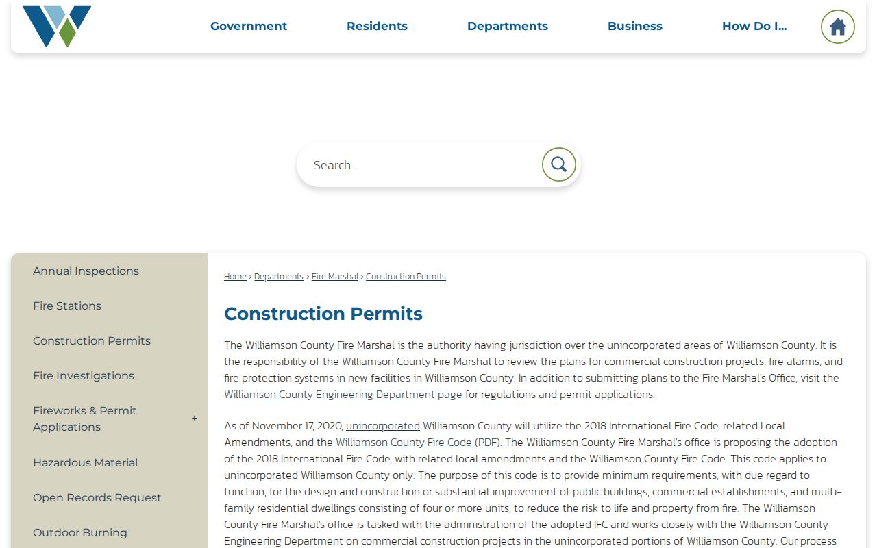
MGO instructions call for selecting the Williamson County jurisdiction, project and application type, then entering the physical location and contacts. The research did not establish public permit-search fields or historical coverage, so do not assume a permit record identifies a resident or owner.
Historic Brushy Creek Street Clues
For dated household clues, the Round Rock Public Library's verified Cole directory run includes 1993, 1994, 1996, 1997, and 2001 through 2020. A surname can be read in an alphabetical volume and then checked against an address or reverse listing if that volume supports it. Search the postal-city form and subdivision variants too, because a Brushy Creek address may be indexed under Round Rock, Cedar Park, or Austin.
A missing entry does not prove a vacant house or an absent household. The collection has gaps, and the Round Rock Leader microfilm is also incomplete. When the goal becomes a time-stamped directory collection rather than an address record, the Brushy Creek city directory collections provide the focused historical route.
Limits of a Brushy Creek Street Directory
A street directory can connect public property and historical-address leads, but it cannot supply a verified roster for every home. WCAD lists an owner of record, not necessarily an occupant. A tax mailing address can differ from the situs address. Deeds show a recorded interest, while a voter or permit record has its own legal purpose and may be confidential, incomplete, or dated differently. Utilities and private association membership are not a public household register.
Lawful use. Use address records for personal, lawful research such as family history, estate work, civic questions, or verifying a property connection. Do not use names or addresses to stalk, harass, intimidate, or harm anyone.
For an existing county-held record, make a focused request under Texas Government Code Chapter 552 and identify the address, dates, record category, and preferred existing format. Courts follow judicial-record procedures, and protected or confidential information can be withheld or redacted.
WCAD's public-information guidance asks requestors to identify a particular property by account number or physical address, specify the exact years and data sought, and narrow broad requests. The district need not answer questions or create a new record. County GIS, the Tax Office, the County Clerk, a city, or BCMUD each keep separate material, so an address request belongs with the custodian that actually holds the existing record.