
Brushy Creek ZIP Code Directory Coverage
Three Census ZIP Code Tabulation Areas intersect Brushy Creek geography: 78613, 78681, and 78717. A ZCTA is a Census geographic approximation, not an official promise that every delivery address in that number is inside the Census Designated Place. The county profile says the Round Rock post office serves residents, but a mailing label remains separate from a city boundary. Treat the table as local search context and confirm the exact delivery ZIP with USPS.
| ZIP Code | Areas Covered | Post Office | Notes |
|---|---|---|---|
| 78613 | Cedar Park-area ZCTA intersecting western and northwestern Brushy Creek service-area geography | Exact delivery office not established in the research | Test Cedar Park and Brushy Creek labels; postal boundary is not a CDP line. |
| 78681 | Round Rock-area ZCTA covering central and eastern Brushy Creek geography | Round Rock post office serves residents under the county profile | Verify delivery ZIP by address before using it as a filter. |
| 78717 | Austin-area and northwest ZCTA intersecting the western and southwestern edge | Exact delivery office not established in the research | An Austin postal label can still identify a Williamson County parcel in Brushy Creek. |
The Census TIGERweb geography provides the CDP context used for this Brushy Creek ZIP code directory table.
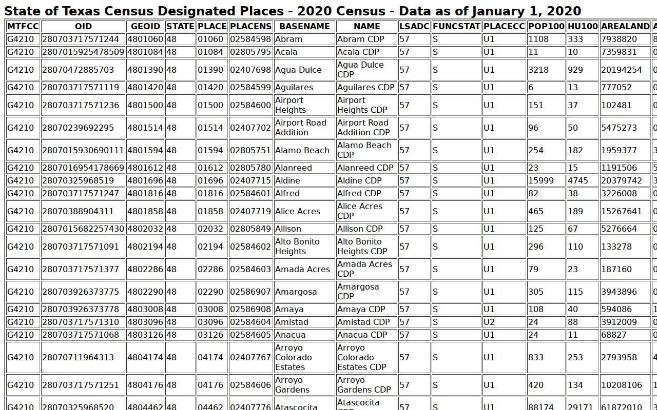
Use the Census view to compare areas, not to choose a delivery ZIP for a specific house. USPS and the county's address records handle that address-level question.
Verify a Brushy Creek ZIP Code
USPS ZIP Code Lookup is the first source for a precise mailing ZIP and postal city. Enter the full street address, preserve the returned formulation, and then compare it with the county address result. A ZIP is designed for mail delivery. It does not decide whether the parcel lies in Round Rock, Cedar Park, Leander, or unincorporated county territory.
The official USPS address-to-ZIP lookup appears below for this Brushy Creek ZIP code check.
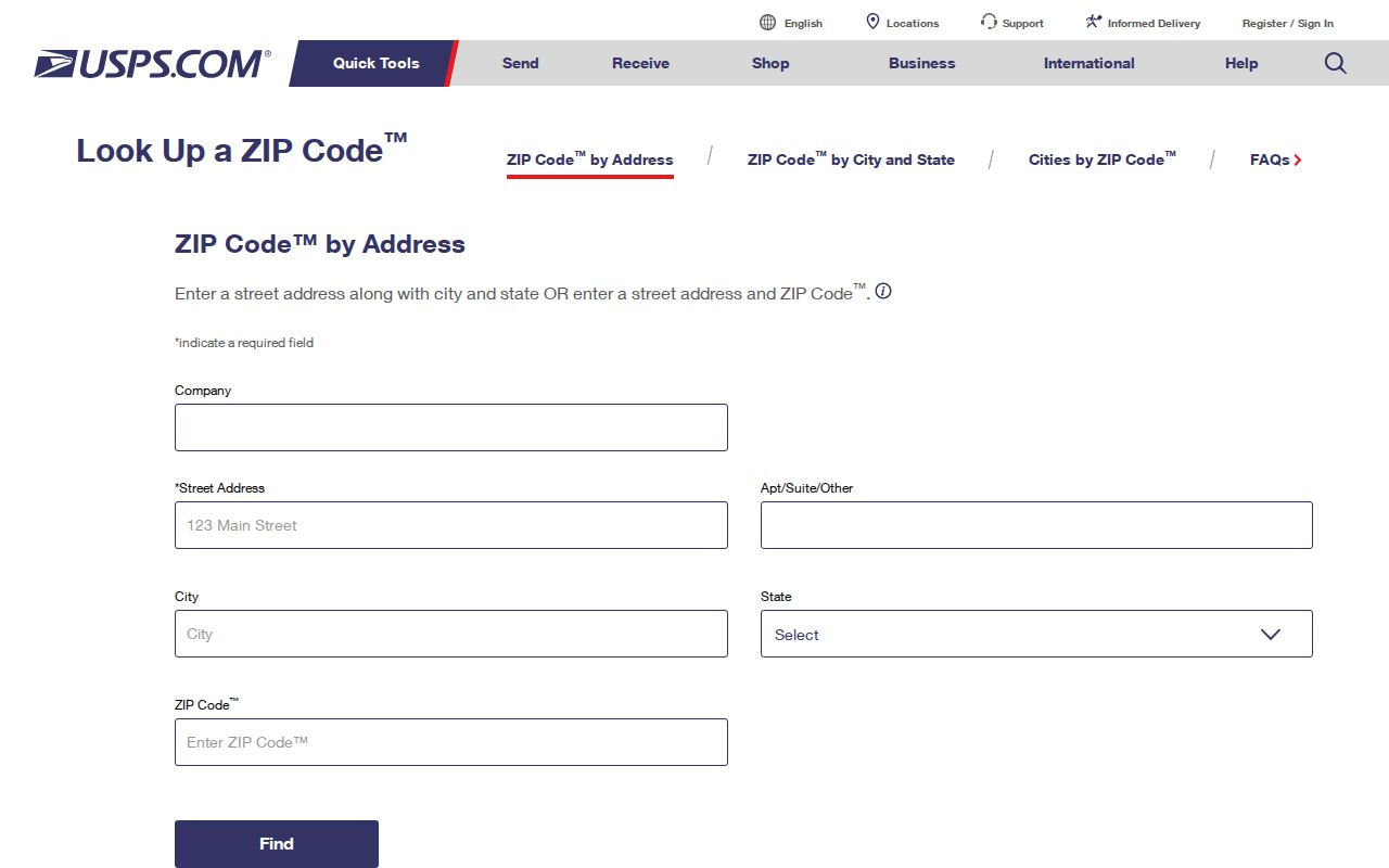
Keep the full returned address with the date of the search. County GIS address data loads about monthly, so a delivery result and a county map result can reflect different update schedules without one necessarily being wrong.
Filter WCAD for Brushy Creek ZIPs
WCAD Advanced Search supplies the most useful local property filter after delivery ZIP verification. Its ZIP field can be paired with street-number range, street name, city text, neighborhood, property type, or legal-description details. A ZIP-only request can be broad, so add a street or neighborhood when a smaller property set is needed. WCAD records identify owner and property information, not verified residence inside the CDP.
| WCAD control | How it narrows a ZIP search |
|---|---|
| Zip Code | Optional postal filter for WCAD address data; accepted format was not stated in the captured source. |
| Street Number Range and Street Name | Focuses the inquiry on a segment within the ZIP. |
| City | Tests the postal or municipal text, which should not be assumed to mean Brushy Creek is a city. |
| Neighborhood | Uses a subdivision label when a ZIP crosses several community areas. |
| Property Type | Optional refinement among real property, manufactured home, natural resource, and personal property categories. |
Save the account or QuickRef ID and legal description for each useful result. Those keys can carry a current ZIP-filtered property lead into a parcel map or recorded-land search, where ZIP is usually not the historical search key.
Find Names Within a Brushy Creek ZIP
Use a ZIP as one part of a record trail, not as a name list. The workflow starts with an individual address and then applies the correct field in each official system. It preserves the difference between an address that receives mail in a ZIP and a parcel that is actually within Brushy Creek geography.
- Run the full address through USPS and retain the returned mailing city and ZIP.
- Enter the address in the Williamson County GIS address search and select the dropdown result to preserve county-maintained spelling and road type.
- Search WCAD by Address, then use the Advanced Search ZIP, street range, city, neighborhood, and property-type fields if a narrower property set is needed.
- Open the parcel in WCAD GIS and county mapping tools to compare the parcel, taxing entities, and actual boundary context.
- Use the current elections map for precinct and district geography, then separate permanent and mailing voter fields if an official voter record is lawfully available.
Once a result is narrowed to an address, the Brushy Creek street directory provides the address-to-parcel and deed-chain sequence. A ZIP should never substitute for that street-level verification.
Map a Brushy Creek ZIP After WCAD
The county GIS address search has no visible ZIP field in the captured interface. Use it after USPS or WCAD to validate a full address and county-managed street form. Address data loads approximately once per month. WCAD GIS can then show parcel shape and nearby parcel IDs, but a map label does not automatically supply an owner or a resident name. Search each derived parcel ID separately in WCAD.
The Williamson County Tax Office handles bills, payments, collections, and tax certificates, while WCAD handles taxable-property records, value, owner and address changes. The Tax Office search is shown here as a separate local layer.
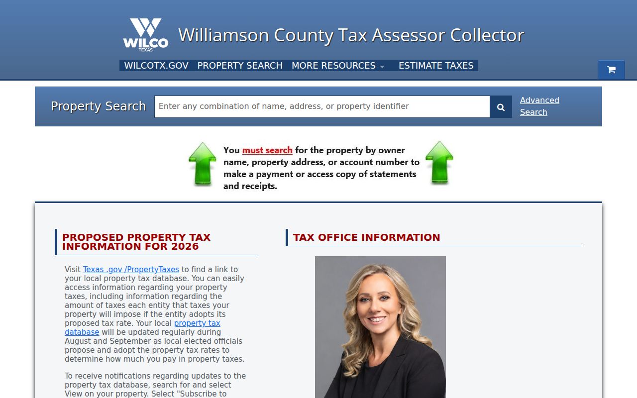
Do not turn a tax-payment address into occupancy proof. A situs address is the physical parcel, an owner mailing address receives tax notices, and a legal description identifies the property across systems.
Brushy Creek ZIP Code and Voter Fields
Texas voter materials distinguish a permanent house address and ZIP from mailing-address lines and ZIP. That distinction explains why a ZIP in a voter-related record and a parcel's situs address can differ without either source being wrong. The official My Voter Portal route documents searches by Name plus County plus date of birth, VUID plus date of birth, or Texas driver license or ID plus date of birth. ZIP appears in official guide material, while current display behavior can vary with confidentiality status.
Williamson County's maps can search an address, street, or district. Precinct changes under 2025 PlanC2333 became effective January 1, 2026, so use the current map rather than an old precinct number. Election geography is a cross-check only. It is not permission to publish an address or infer an individual's residence.
Note: Public voter information has Election Code limits, and a web opt-out affects county and state lookup display rather than all record access.
Neighborhoods Inside Brushy Creek ZIPs
ZIP and neighborhood are different filters. Brushy Creek MUD identifies community names including Cat Hollow, Meadows, Sendero Springs, Brushy Creek Village, Woods of Brushy Creek, Highland Horizon, Great Oaks, Hunter Brook, and other service-area labels. WCAD may use a subdivision code or legal-description label instead of the name used by a resident or postal address. Test the street, neighborhood, and legal description independently.
The MUD is a public district, not an incorporated city, and it says it partners with homeowner associations without managing them. Its neighborhood information helps select a geographic label or association map; it is not a household membership directory. School attendance lines also do not follow postal numbers. Most of the CDP is in Round Rock ISD, with some in Leander ISD, and address tools should be used for any current school question.
Brushy Creek ZIP Counts Do Not Match
Population figures are useful only when their geography and source are named. Census QuickFacts reports 22,519 people for the 2020 Brushy Creek CDP. The Williamson County profile reports 20,953 people and 7.0 square miles for the same nominal 2020 CDP. The research does not reconcile the difference, so neither figure should be treated as a ZIP-level count or averaged into a new number.
The captured Census QuickFacts result documents one source used to frame the Brushy Creek ZIP code directory geography.
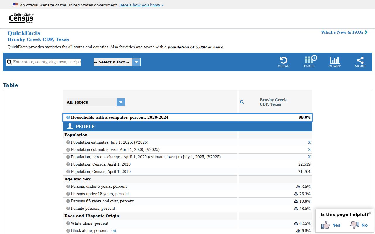
The competing totals show why a Census CDP, a ZCTA, a postal delivery area, and a local service area should remain separate in a ZIP search.
No official street-by-street ZIP export for the CDP was located in the research. That gap is a reason to preserve the source label with every result: use Census material for geographic context, USPS for delivery, and county parcel tools for a particular location. It is not a reason to fill the gap with a generalized ZIP-to-city claim.
Brushy Creek ZIP Code Boundaries
Brushy Creek has no single city ZIP because it is an unincorporated CDP. A Round Rock, Cedar Park, or Austin postal label does not prove city services, a municipal permit route, or city-held records. Confirm the parcel and taxing jurisdiction in county tools before contacting a city. For historic work, ZIP may not appear at all, so use the street, postal-city form, subdivision, and legal description in the relevant directory or deed index.
- ZIP versus ZIP+4
- A ZIP identifies a broader delivery area; ZIP+4 adds a more precise delivery segment for a particular address.
- PO-box ZIP
- A delivery number assigned for post-office boxes rather than a statement about nearby street addresses.
- Unique ZIP
- A number assigned to one organization or high-volume destination; no verified unique Brushy Creek ZIP was located.
- Carrier route
- A mail-delivery grouping that can organize addresses but does not establish a city or parcel boundary.
Boundary limit. A matching postal number is not proof that a record belongs to Brushy Creek or that a named person lives at an address. Verify the exact record and use names and addresses only for lawful purposes.